Shipwrecks Detectable from Space
This article seems to be everywhere lately, even in my local newspaper. The idea of using the wide-area detection capabilities of satellites has been the "holy grail" of shipwreck hunting. The hope that technicians could someday sit in a communications center or laboratory and watch as colored images on computer monitors pinpointed shipwrecks has been a dream of many modern shipwreck archaeologists. Indeed, this hope was given new life recently as Dr. Sarah Parcak, Ph.D announced that she is using space-based imagery to locate hundreds or thousands of archaeological sites on land.
The article discusses the use of space-base satellite imagery to detect the Suspended Particulate Matter (SPM) generated by shipwrecks in the oceans. The physics of looking beneath the surface of the ocean and through sometimes rapid ocean currents are similar, but also quite different from Dr. Parcak's search on land.
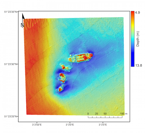
The image accompanying the store is a conventional multi-beam sonar image and not a picture from a satellite.
http://www.ulster.ac.uk/es/detecting-shipwrecks-from-space-3/
Here's an article on Dr. Parcak's efforts:
http://www.wsj.com/articles/sarah-parcak-space-archaeologist-1452887899
Tags: archaeologyremote sensingspace